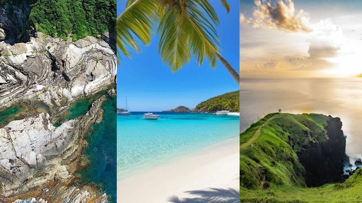

From hikes to bikes, natural pools to camp nights, Bulacan has trails that you can’t miss. Just a few hours from Metro Manila, this rising outdoor hotspot offers mountain biking, forest trekking, and camping—all right here in the province. With paths for thrill-seekers and chill explorers, Bulacan blends scenic views, fresh air, and just the right dose of adventure.
Whether you’re chasing sunrises, waterfalls, or a moment of peace in nature, here are five trails in Bulacan that will reconnect you with nature, plus local tips to make the most of your trip:
1. Tila Pilon Hills
📍 Location: Doña Remedios Trinidad, Bulacan
⏱️ Difficulty: Easy
📸 Perfect For: Sunrise chasers and drone photography

This is the trail for soul-searchers and peace-seekers. With soft, rolling hills and endless grassy landscapes, Tila Pilon is perfect for quiet morning hikes and golden hour views. No steep climbs, just clean air and calm vibes.
Local Tip: Visit at sunrise or sunset for the most magical light. Bring a blanket and a thermos. It’s the perfect spot for a simple hillside picnic. No nearby stores, so come prepared.
2. Mt. Gola
📍 Location: San Miguel, Bulacan
⏱️ Difficulty: Easy
🌅 Best For: Quick hike with high reward

Often paired with Mt. Manalmon, Mt. Gola is a short but sweet hike with wide-open views. It’s not as popular, which makes it great if you want to avoid crowds. The trail is straightforward, the summit breezy, and the views totally worth the climb.
Local Tip: Do both Mt. Gola and Mt. Manalmon in one day if you’re up for it. Bring a cap or scarf. There’s not much shade, but the breeze at the top makes it worth the sweat.
3. Mt. Manalmon
📍 Location: San Miguel, Bulacan (inside Biak-na-Bato National Park)
⏱️ Difficulty: Easy to Moderate
🌟 Bonus: Nearby caves and rock climbing spots

If you’re looking for a trail that offers a bit of everything—river crossings, caves, history, and great views, Mt. Manalmon won’t disappoint. It’s beginner-friendly but far from boring. You’ll walk the same grounds that once sheltered Filipino revolutionaries, giving the hike a sense of purpose beyond the adventure.
Local Tip: Don’t skip the Bayukbok Caves nearby for some easy spelunking. Expect to get wet—river crossings are part of the route. Local guides are required and are full of stories that make the trail even more meaningful.
4. Mt. Balagbag
📍 Location: Rodriguez, Rizal/Bulacan border
⏱️ Difficulty: Easy to Moderate
🕒 Best Time to Hike: Early morning or late afternoon for sunrise/sunset views
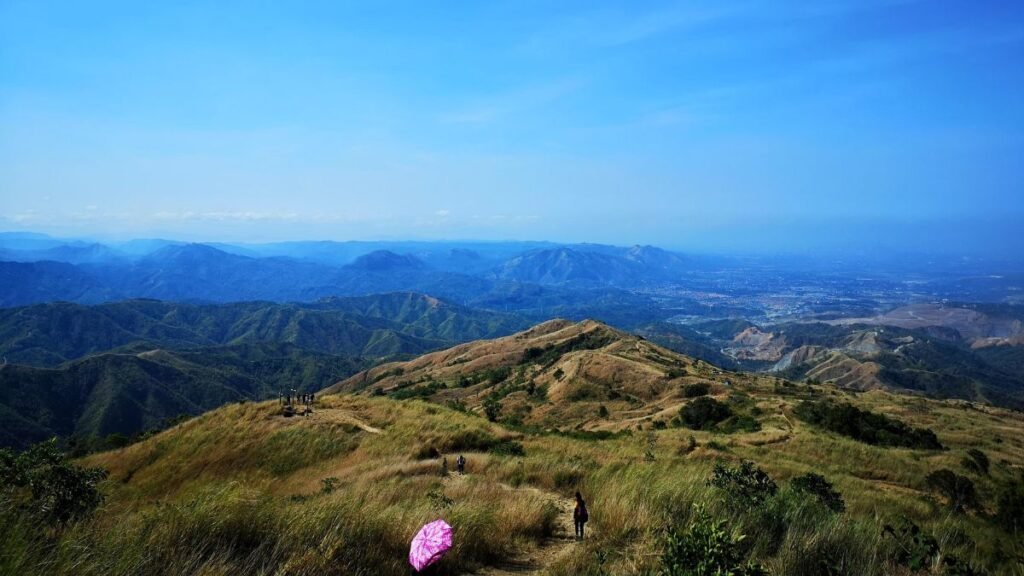
Think gentle hills and wide, open trails that stretch into the horizon. Mt. Balagbag is one of the top choices in Bulacan trails for beginners and weekend warriors looking for a laid-back hike with stunning views. If you catch the trail at sunrise, the city skyline shimmers in the distance. It’s the kind of moment that makes you stop and breathe it all in.
Local Tip: Start early to catch the golden hour. Camping is allowed, but make sure to coordinate with the local barangay. Bring your own snacks and water; there are a few stores, but don’t count on full supplies.
5. Mt. Maranat
📍 Location: Norzagaray, Bulacan
⏱️ Difficulty: Moderate
🌊 Highlights: Natural pools and waterfalls

Hidden within a canopy of forest, Mt. Maranat offers more than just a hike: it ends with the soothing sound of waterfalls calling you to rest. It’s slightly more challenging, but every muddy step leads to a natural pool perfect for cooling down.
Local Tip: Wear reliable hiking shoes because it gets slippery, especially after rain. Bring swimwear if you want to dip into the falls, and consider hiring a guide for a smoother trek through the forested path.
Before You Go: Quick Trail Tips

- Pack light, pack right – Water, snacks, sunscreen, and a first-aid kit are must-haves.
- Gear up smart – Wear breathable, non-slip hiking shoes for comfort and safety.
- Leave no trace – Respect nature: take your trash, don’t pick plants, and avoid disturbing wildlife.
- Check the weather – Always look at the forecast to avoid rain-soaked or risky trails.
- Plan and share – Start early, tell someone your plans, and download offline maps just in case.